Vacant Land Photography & Drone Video
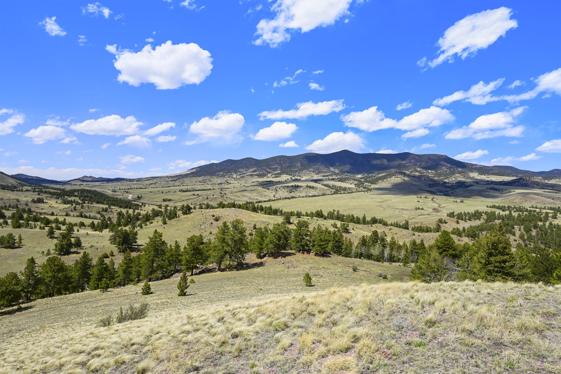
Raw land is a hard sell from the ground. It's a fence line and a horizon. From the air, a parcel becomes a place: its shape, where the road comes in, how it sits against the neighbors, and what the view looks like from the building site.
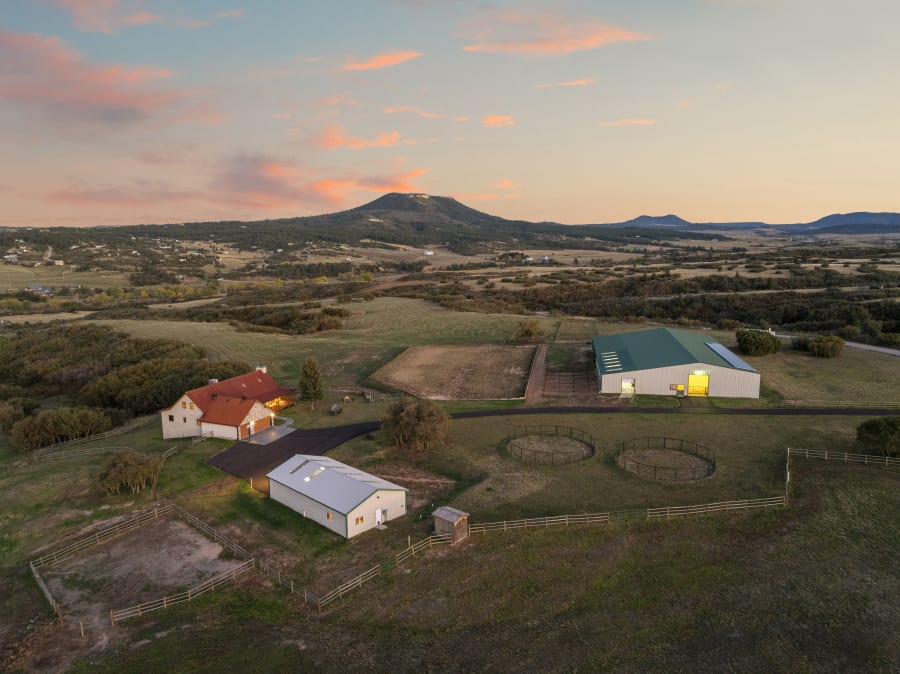
I shoot acreage and building lots from Calhan to Hartsel, with aerial photos (with and without lot line overlays) plus ground shots of the access, terrain and anything worth pointing at. Or tell the whole story with a short drone film.
Options & pricing
Vacant Land
Raw land is a hard sell from the ground—it's a fence line and a horizon.
Details & price tiers
Aerial Photography · Lot Line Overlays · Ground Photos
Raw land is a hard sell from the ground—it's a fence line and a horizon. From the air, a parcel becomes a place: its shape, where the road comes in, how it sits against the neighbors, and what the view looks like from the building site. This shoot delivers aerial photos with and without lot line overlays (drawn from county parcel data—approximate, not a survey) plus ground-level shots of access, terrain, and any feature worth pointing at. Priced by acreage, because bigger parcels take more flight time to cover properly; over 1,000 acres, ask for a quote.
By the numbers: Drone imagery adds 68% more engagement to a listing, and for land it isn't a bonus—it's the only way to show what's actually for sale. Most land listings still go to market with a phone photo of a dirt road and a screenshot of the plat.
In the listing pitch: Land sellers know their parcel is hard to show. Walk in with aerials that trace the boundary and reveal the view from the pad, and you've solved the problem they came to you with—before they've asked what you charge. Add Vacant Land Video when the parcel has a story that stills can't tell.
- 0-19 Acres$200
- 20-60 Acres$250
- 60-100 Acres$300
- 100-200 Acres$400
- 200-1000 Acres$600
Vacant Land Video
Photos show a piece of land; video shows how it connects.
Details & price tiers
Drone Video · Lot Line Overlays · Cut to Music
Photos show a piece of land; video shows how it connects. A 1–2 minute drone film traces the boundary, follows the access road in, reveals the view from the best building site, and pulls back to place the parcel in its setting—mountains, open space, neighboring homes, the nearest town. Lot line overlays stay on the footage (drawn from county parcel data—approximate, not a survey) so buyers can read the shape of the land while it moves. Edited and cut to music, delivered ready for MLS, your website, and social. Priced by acreage; over 100 acres, ask for a quote.
By the numbers: Listings with video draw up to 400% more inquiries and, per Zillow, sell 14% faster—and on land, where there's no kitchen to photograph, motion is what makes a buyer feel the size of the place.
In the listing pitch: Most land sellers have watched their parcel sit with a plat map and a photo of a gate. A drone film that walks buyers across the property, boundary on screen, is the clearest proof you'll market it differently. Pair it with Vacant Land photos for the full package.
- 0-40 Acres$300
- 41-100 Acres$500
Recent work
From an agent
“I can't say enough about this photographer. I have been using Harrison for many projects and he has gone above and beyond every time. My clients are particularly impressed with his talents and highly recommended Harrison for anyone looking.”Clint W. · Great Plains Land Co · Divide
Questions
How much does land photography cost?
Vacant land photos start at $200, and a vacant land drone video starts at $300, both priced by the size of the parcel.
Are the lot lines exact?
No. They're drawn from county parcel data and are approximate, not a survey. They're there to show buyers the shape of the land and where it sits.
Can you shoot acreage outside Colorado Springs?
Yes. I regularly cover rural parcels across El Paso, Teller, Park and Fremont counties, from Calhan out east to Hartsel in South Park.
Where I shoot
Based in Colorado Springs, serving Colorado Springs, Monument, Castle Rock, Woodland Park, Fountain, Calhan, Pueblo, Cañon City and Hartsel, and the rural parcels between them across El Paso, Teller, Douglas, Park, Pueblo and Fremont counties. See the towns I shoot most.
Other services
Home · Areas · Pricing · Preparation guide · Terms of service